Heybrook Lookout -- February 26, 2005
![]()
![]() This hike, sadly enough, is rated only 2 boots out of 5 on the
Hiking Boot-o-meter. Ouch...
This hike, sadly enough, is rated only 2 boots out of 5 on the
Hiking Boot-o-meter. Ouch...
This one we fought for, but it still sort of got away from us...
Sue was adamant that there would be no snowshoeing involved this day - she had apparently reached snowshoe saturation this winter - so we decided to try hiking in a new area and figured we would try some of the low-elevation alpine lakes south of Highway 2 around Skykomish, anticipating that the abnormally low snowfall amounts this winter would render the trails in that area relatively snow-free.
We had fully scoped out our Highway 2 options (Rick was still recuperating from his cold/flu so we didn't plan on our usual "meet Rick in North Bend and go hiking somewhere along I-90" paradigm) and actually had come up with Plans A, B, C, and D the previous night - by a huge margin our most planned-ahead hiking day ever, and we were armed with a comprehensive set of maps, trail descriptions, and driving directions:
Plan A - just west of Skykomish - East Fork Miller River - Trails 1072 and 1002 - Lake Dorothy, Bear Lake, Deer Lake
Plan B - just east of Skykomish - West Fork Foss River - Trail 1064 - Trout Lake, Lake Malachite, Copper Lake, Little Heart Lake, Big Heart Lake
Plan C - just east of Skykomish - East Fork Foss River -Trail 1062 - Necklace Valley Trail, Jade Lake, Emerald Lake
Plan D - just east of Skykomish - Foss River - Trail 1058 - Tonga Ridge, Fisher Lake Spur
Indeed, we had plans aplenty...
Per Sue's instructions, some of our "if we don't return in a timely manner then alert the proper authorities" friends were even put on alert - it seems that Sue had a queasy feeling about this whole thing right from the start. Do not fail to note the blatant and ominous foreshadowing in the previous sentence.
The day started (or didn't start) with an alarm clock set for 7:30, but it seems that nobody had flipped the switch to "Alarm" so the alarm never went off. At 8:15 we finally hit the linoleum, finished packing up, and headed for points east on Highway 2, stopping for coffee, tea, breakfast muffins, and lunch bagels at the Avondale Road Safeway.
In any case, we veered south off of Highway 2 at the Money Creek Campground turnoff, just west of Skykomish, and proceeded a couple of miles on pavement,
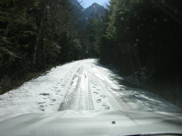
then another 4 miles on a muddy, icy, and snowy dirt road,
finally pulling to a stop at the edge of a rockslide that had covered the road. If we had really wanted, we could probably have negotiated the obstacle, perhaps losing only a few minor mechanical pieces under the Mazda, but thought better of it and got turned around. Thus was Plan A dispatched to Plan Heaven.
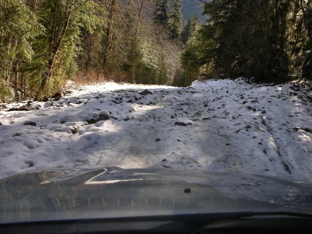
And thus was Plan B called into action: we headed back to Highway 2 eastbound, past Skykomish, and jumped off at Foss River Road, continuing south on FSR 68, and finally onto FSR 6835 to the trailhead.
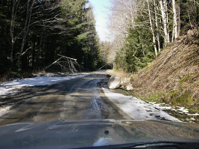
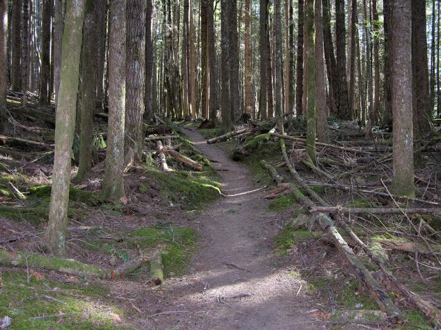
The place was pretty beat up - rocks rolling around and lots of blowdowns.
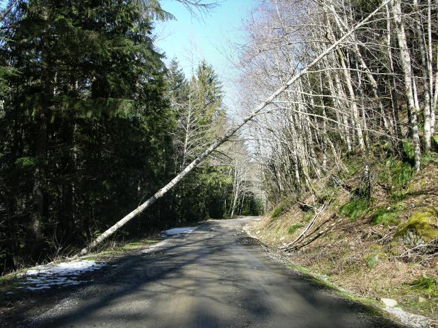
We paused briefly beneath this tree for dramatic effect.
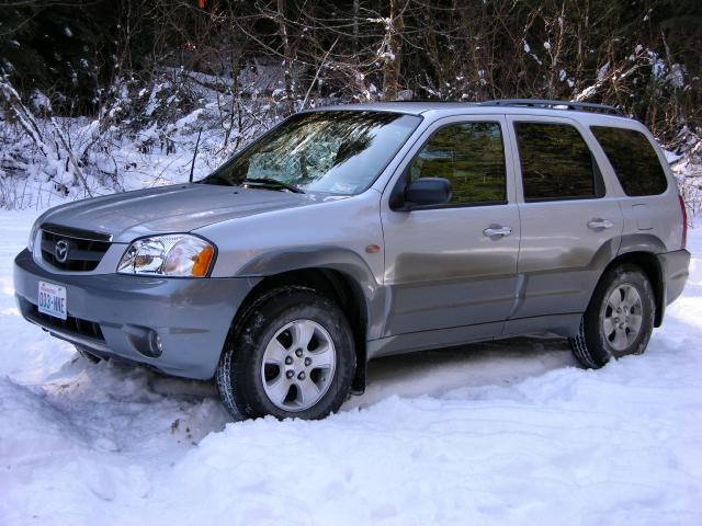
The increasingly-dirty Mazda got situated at the trailhead,
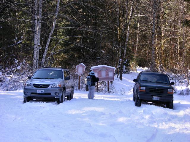
we got loaded up, and finally hit the trail, headed off to Trout Lake with our showshoes bungeed to our packs just in case.
After about 10 minutes, it became increasingly clear that we would be spending the day slipping around on ice, hacking our way through brush and blowdowns, and, given the reported steepness of the trail between Trout and Copper Lakes, decided that Plan B would join Plan A in Plan Heaven.
Plan D was next dispensed with: The high point of Tonga Ridge being 800' above Stevens Pass, we figured that the snow depths would definitely require use of Sue's forbidden showshoes.
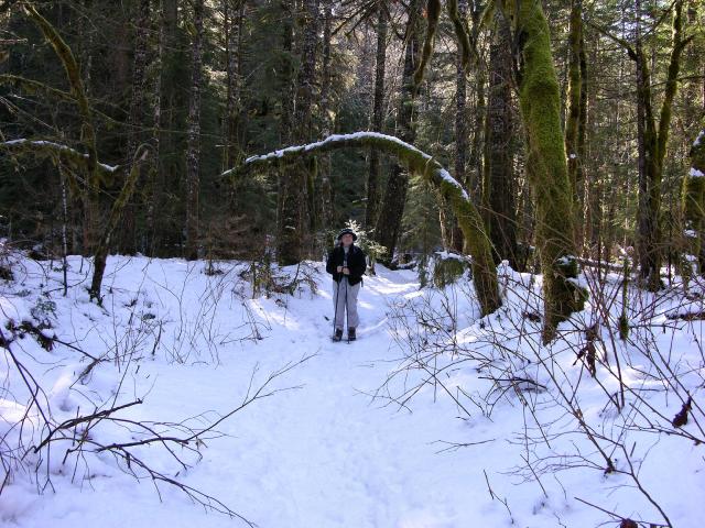
We decided that it was either (1) Plan C, (2) weenie out and head to snow-free Wallace Falls, or (3) head up to Stevens Pass and go snowshoeing. Sue nixed option 3, and we decided on option 2 since if we tried option 1 and it didn't pan out, then we wouldn't have time for much of anything else since we had already pretty much shot the morning driving around. Our main concern was that the limited parking area at Wallace Falls would be full, but we sped westward nonetheless, barely seeing, peripherally, the blur of a trailhead on the north side of Highway 2, just east of the Index turnoff. A hasty U-turn revealed that it was in fact the trailhead for the Heybrook Lookout trail, so with a shrug of our collective shoulders, we got loaded up and headed toward the trail,
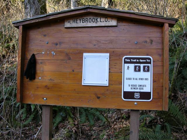
past the trailhead kiosk that was totally lacking in trail information. All we knew for sure was that it was ok to hike here, that someone had lost the black mitten that was hanging dejectedly from a stick, that it was 12 Noon, and that we were finally hiking!!! We soon met a couple on their way back down to the trailhead, and they said that it was a short but steep trail up to the lookout - less than an hour - and at the top we could hook up with a dirt road and keep on hiking if we wanted.
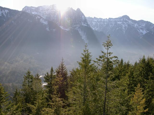
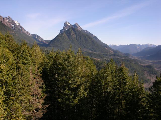
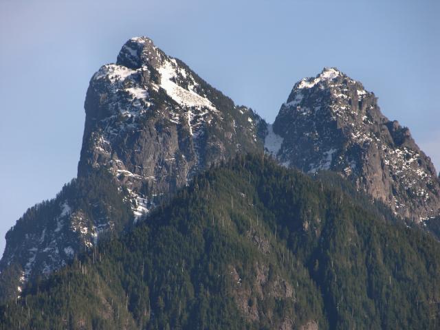
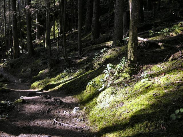
This all sounded good to us, so we headed up the trail,
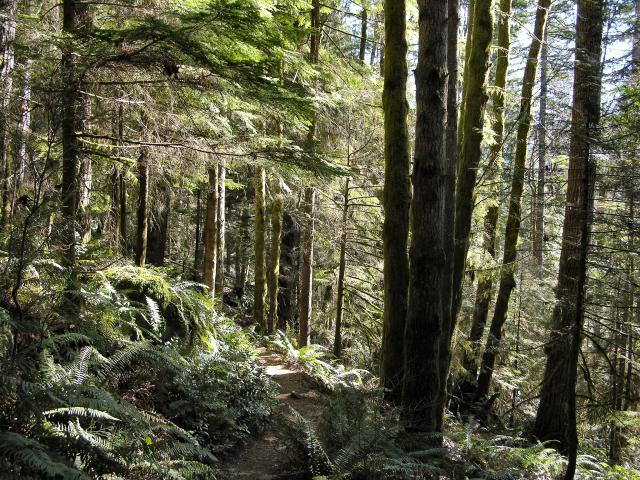
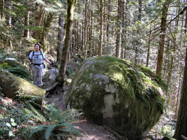
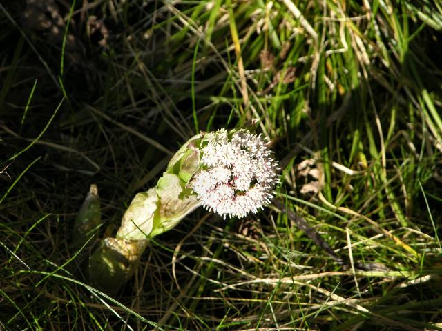
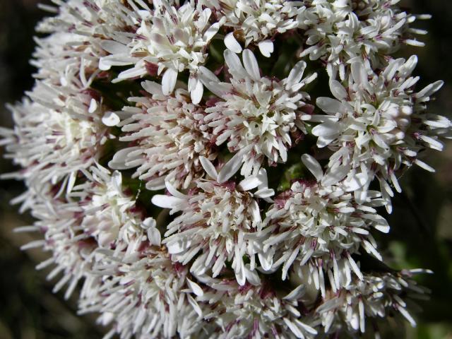
enjoying all the ferns,
the ground moss,
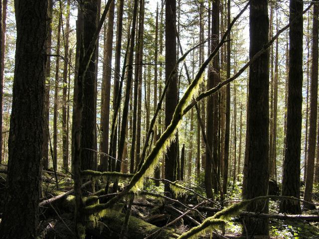
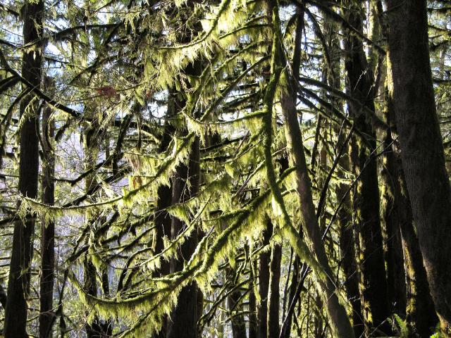
hanging tree moss,
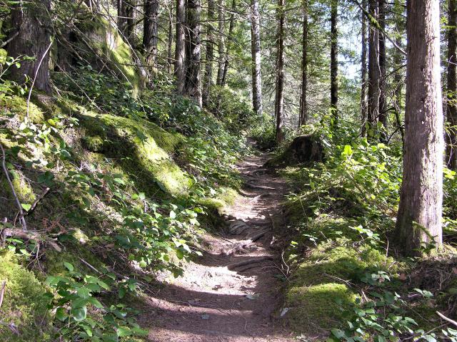
and the salal.
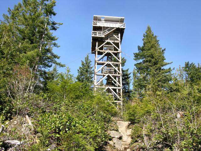
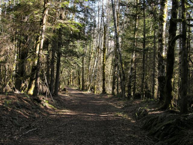
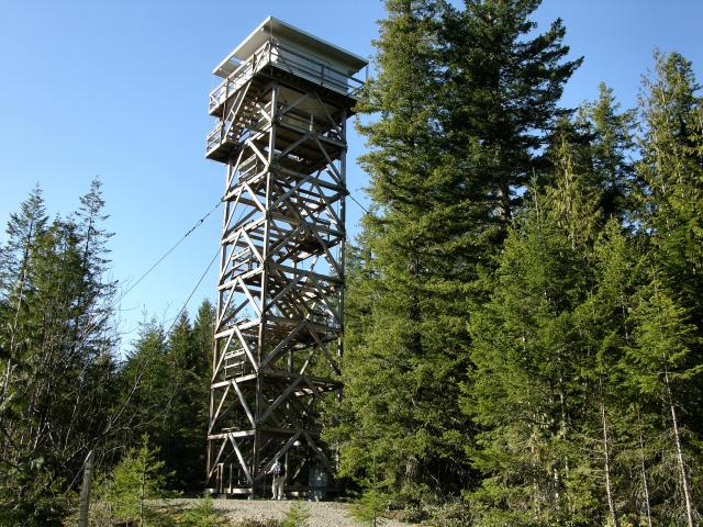
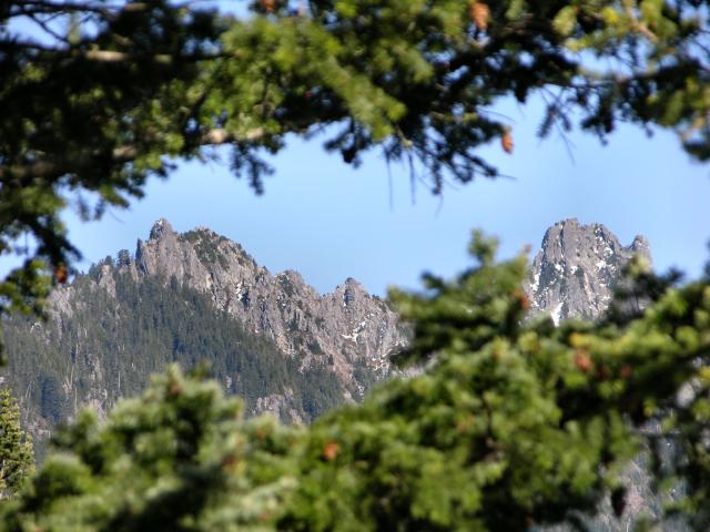
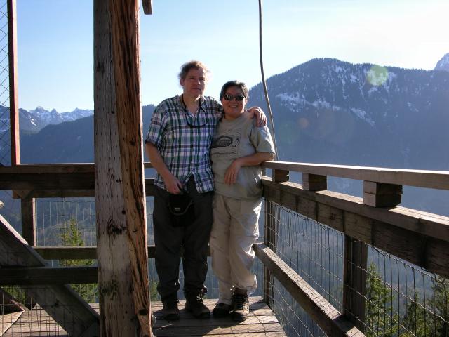
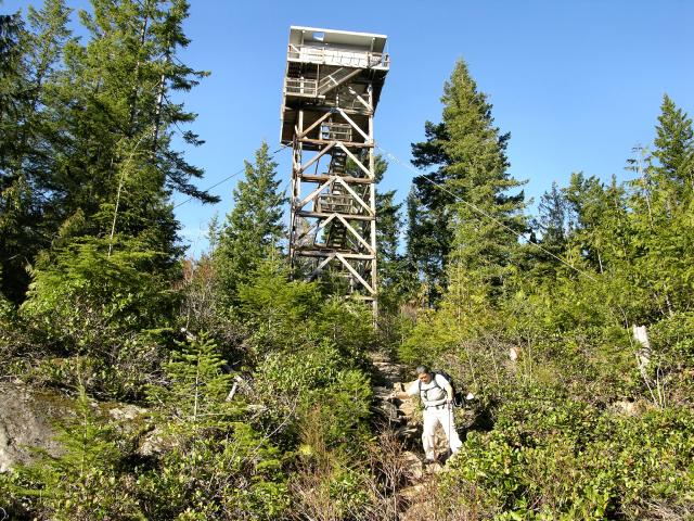
We finally rounded a turn and there was the lookout tower looming above us - triangulation incarnate. While the photographer lingered, Sue dashed ahead, leaving her pack at the base of the tower, and, not noticing that there were people enjoying the views from the top of the tower, followed her personal call of nature into the adjacent bushes. As soon as Sue was made aware of the circumstances, it was decided that we would immediately take off on the dirt road for some more hiking, and save our tower climbing for the return trip.
The bagels came and went during a late, but enjoyable, lunch,
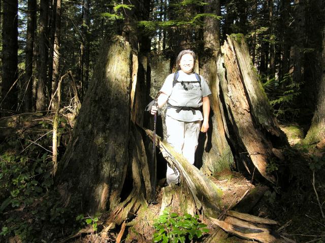
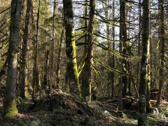
after which Sue climbed into this huge hollowed-out cedar stump. The area had been lumbered in the 1920's, and was loaded with stumps.
12:00 - 4:30
![]()